Specialized Drone Services for the Infrastructure & Construction Industries of the Maritimes
We help municipal planners, civil engineers, and construction firms across the Maritimes reduce inspection times, cut costs, and enhance safety with professional drone-based inspections.
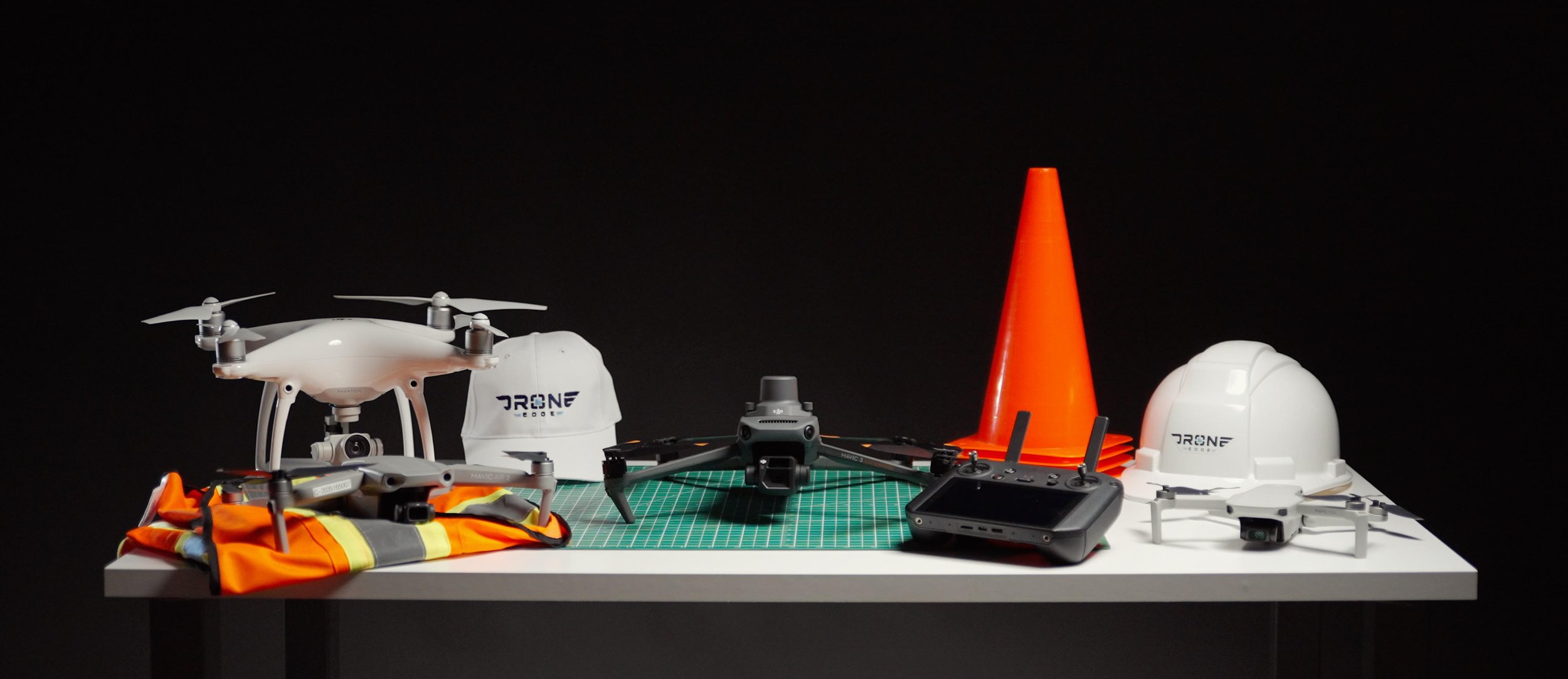
WHAT WE DO
Drone Edge delivers high-accuracy aerial inspections, mapping, and progress tracking tailored specifically for the construction and infrastructure industries. Using advanced drone technology, we provide contractors, developers, engineering firms, and municipalities with detailed, real-time data to enhance project efficiency, reduce costs, and improve safety.
Our specialized drone services help:
✔ Construction Firms & Project Managers – Track site progress and improve planning with detailed 3D mapping and orthomosaics.
✔ Municipalities & Infrastructure Managers – Inspect buildings, roads, and public assets without the need for costly closures or safety risks.
✔ Engineering Firms – Support structural assessments, site evaluations, and as-built documentation with high-precision aerial capture.
✔ Developers & Project Managers – Gain valuable site insights, optimize land use, and document construction phases with high-resolution aerial data.
OUR SERVICES

Aerial Photogrammetry & 3D Mapping
Utilizing specialized technology, we capture precise aerial imagery and transform it into detailed 2D and 3D maps, offering valuable insights for construction site & Infrastructure inspections. Let us help you gain valuable data for informed decision-making and enhanced project management.

Infrastructure Inspections
Reduce costs, minimize risks, and improve decision-making with high-precision aerial inspections. Our drone technology provides detailed condition assessments for infrastructure - all without the need for costly closures or hazardous manual inspections.

Construction Progress Monitoring
Stay on schedule and improve decision-making with high-frequency aerial reports and 3D models. Our drone technology provides real-time site documentation, ensuring better project planning, compliance, and progress tracking - all with greater accuracy and efficiency.

Roof & Building Envelope Assessments
Quickly identify structural weaknesses, leaks, and deterioration with high-resolution drone inspections. Our non-invasive approach eliminates the need for costly scaffolding or lifts, providing panoramic imagery, HD video inspections, and 3D models for accurate assessments and maintenance planning.

Our Aerial Photography and Videography services consist of dynamically capturing places, environments and infrastructures in a targeted manner to provide a perspective from above. The deliverables associated with these services can be used independently or to support existing content, to add context. Whether you’re a real estate agent, a construction company, a local business, or a government agency, this service adapts to you.
(under construction)
Why Leading Construction & Engineering Firms Choose Us
Industry-Specific Expertise – We specialize in construction, engineering, and municipal infrastructure, delivering data that meets industry standards.
Enhanced Safety & Compliance – No need for workers to access hazardous areas. Our remote inspections improve safety and ensure compliance with industry regulations.
Minimal Site Disruption – No bulky cranes or equipment blocking your operations - our aerial solutions integrate seamlessly into active job sites.
Cost & Time Savings – Our drone services reduce inspection costs, eliminate unnecessary labor, and deliver insights 75% faster than traditional methods.
High-Accuracy Aerial Data – We provide accurate 3D models, and orthomosaics, empowering better decision-making for engineers, developers, and municipal planners.

OUR CLIENTS
Contact us
droneedgeservices@gmail.com
(506) 866-0529
Dieppe, New-Brunswick
Canada